YEREVAN CHRONOLOGY
2024
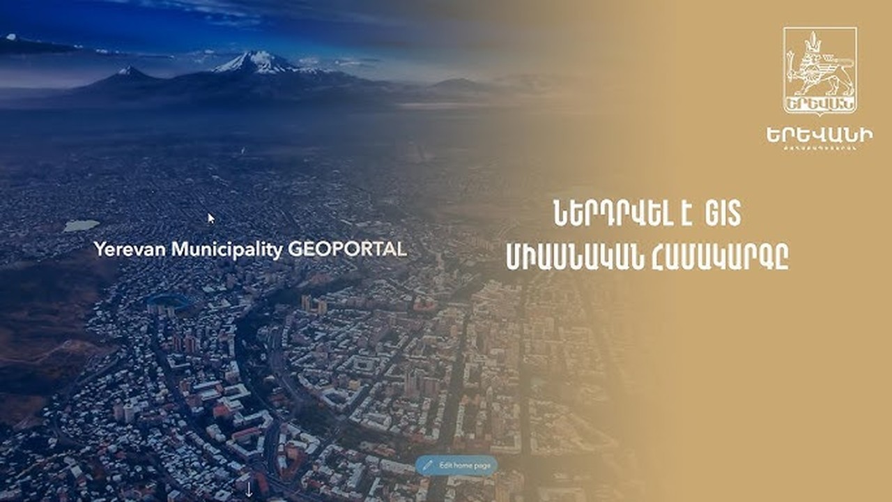
GIS unified system will increase quality of services
Saving resources via automation of functions and providing citizens services of a higher quality: Yerevan Municipality has installed the Geographic Information System (GIS). E-mapping will significantly simplify the services, making them more available and transparent. The system is primarily designated for the spheres of urban development and urban planning. Various tools such as google and yandex were used in the city economy previously. Today, data from various structures and sensors online including the air pollution level are collected online on the platform.
“The City Twin”, or the e-copy of the city – that is one of the most essential achievements of the unified platform of Yerevan. Photos taken from a drone allow you to get a 3D model of any building or area, and by combining space photos, you can see the development and construction of the city over the years. It is planned to install the unified GIS system in some other areas of the city economy, including garbage collection. Thanks to the platform, it is easy to see in which part of the city there is garbage accumulation and when and how it will be eliminated. It is also possible to observe the movement of public transport in real time and control the quality of service. It is planned to have online data of city traffic and traffic lights. In the field of environmental protection and especially greening, GIS will be used in green areas mapping, planning, irrigation network construction, monitoring, and other functions. Carrying on digitization of the branches of the city economy, the municipality set a goal to increase the quality of services provided.